TravelingMorgans.Com
We Lived our Dream -- Over 10 years on the Road
Visiting scenic wonders
& sharing them with you.
We want you to follow
your own dream while you can.
If menus do not drop, use our
sitemap.
Click pictures for larger images.
This page last updated: Sun Sep 13, 2015
Badlands National Park is a short drive from
The Black Hills.
When coming from the Black Hills, The Traveling Morgans recommend you approach from the
south (SD Highway 44) so you can see "the wall" that
gave Wall SD its name. A great area to visit, if you have a high clearance vehicle
(Jeep type, 2WD is fine) and it has not been raining, is
Sheep Mountain Table
in the undeveloped South Unit
of Badlands National Park. You will have outstanding views of the Badlands.
A good Badlands Map
is provided by BlackHillsBadlands.Com.
Cedar Pass
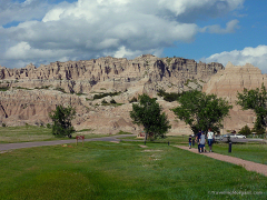
Cedar Pass as seen from the visitor center near the town of Interior.
This pass is one of the few ways down from and through "the wall" of the badlands.
Not far from the pass is the Door Nature Trail and Window Nature Trail.
See below.
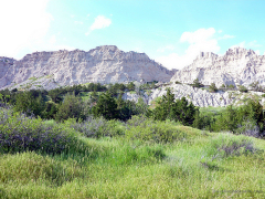
Cliff Shelf Nature Trail, part way up Cedar Pass.
:
Door Trail and Window Trail
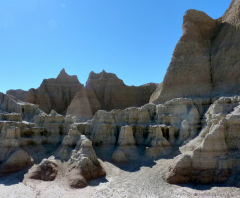
Not far from Cedar Pass is the Door Nature Trail.
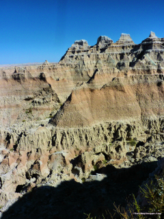
This short trail will make you think you are on another planet, and the area has been used
for "other worldly sets" in Science Fiction Movies.
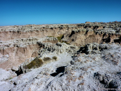
Window Nature Trail
:
Badlands Storms
We have been fortunate many times to see storms approaching the Badlands.
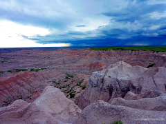
Pinnacles Overlook, looking west toward the Black Hills.
Storms come will little advance notice in the Black Hills.
A fine day can be a heavy storm within a few minutes.
In the Badlands, you can see storms over the Black Hills coming toward you hours before they arrive.
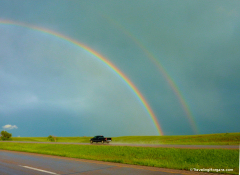
This particular time, we left the Badlands and drove through the storm on I-90,
returning to the Black Hills. We stopped and took a quick picture at right.
There was no pull off handy for us to get the full rainbow, but it was there in our
mirrors.
:
Tables
Tables or Mesas are found in the Badlands. The top will usually contain grassy areas and loved by
wildlife that can negotiate the steep sides.
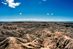
A distant shot of Grassy Table.
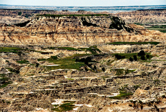
A zoomed closeup of Grassy Table.
:
Favorite Overlooks
Badlands National Parks has many overlooks. Some of our favorites are shown here.
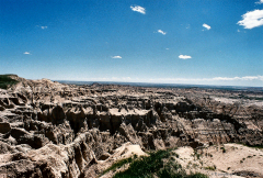
The Ancient Hunters Overlook has an inspiring view. You can feel the early hunters tracking large
game like bison from the site and almost hear them planning their strategy for feeding their families.
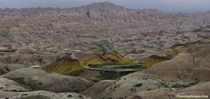
Conata Basin Overlook includes an overall view of the Yellow Mounds.
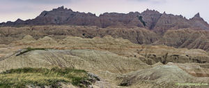
White River Valley Overlook.
:
Yellow Mounds (or Gold Hills)
The Yellow Mounds Overlook is somewhat misnamed in our minds.
We call it Gold Hills Overlook.
No, there is no significant gold (the mineral) in the Badlands. Head for the
Black Hills for gold country.
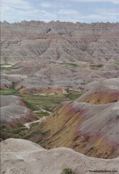
Gold Hills (officially Yellow Mounds), the most colorful section of Badlands National Park.
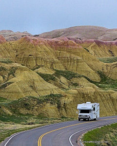
RV going through Gold Hills.
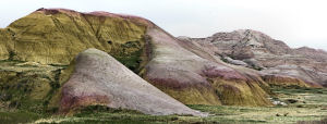
When you see this section, you just have to admire the beauty.
:
Gravel Roads
The abundant wildlife in Badlands National Park is best seen on the gravel roads
such as Sage Creek Rim Road.
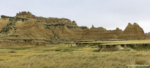
Old NE Road.
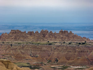
Big Butte Overlook on Sage Creek Rim Road.
:
Wildlife
The abundant wildlife in Badlands National Park is best seen on the gravel roads
such as Sage Creek Rim Road.
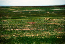
A Prairie Dog town.
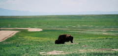
Bison grazing near the road.

Ewes grazing near the main road.
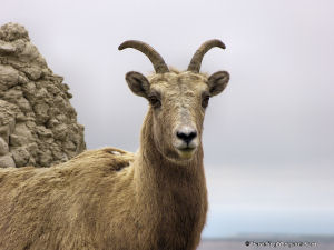
Ewe closeup near the main road.
There are several theories on the origin of the Badlands. The two most common
are easily eroded volcanic ash under layers of more durable rock; and sediments washed
down from the Black Hills (from when they were as high as the current Rocky Mountains
and the Badlands area was a shallow sea)with the same sediments now being eroded again.
The stark beauty is not debated. The Traveling Morgans have seen several "badlands"
in our travels, but Badlands National Park sets the standard.
:


